
Finding Nemo
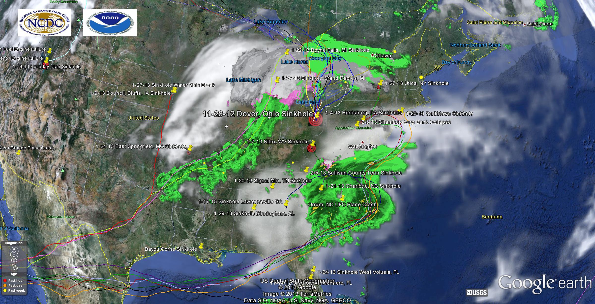 I guess NOAA is calling this storm Nemo, and giving it a 10/10 on the Blizzard scale. So here is how I see it as an engineer. I see these orbiting particles as condensers. Wherever they are orbiting, they are condensing any moisture that crosses their path. Even though their surface is extremely hot, they have inadequate surface area to transfer the heat across since Q=UAdT and A is extreeeemly small plus they are moving FAST (maybe 500 miles/second or more). What they do have is enormous entropic pull on the surrounding gas and thus the condensing and cooling. As they condense that moisture they also become more energetic and tend to loop past the sinkholes and circle back around. I can see fairly well defined condensing paths to Michigan and Ohio, and my particles orbiting down the NW jet stream are doing a good job condensing North of Ohio, which also loop around it into New York. I also have good condensing going on in the South. In the past 1-2 weeks it appears we have had a bunch of sinkholes open up as I mentioned in AL, GA, SC, NC, WV, PA and also NY, which I have plotted. I can also see on the map that a bunch more low pressure disturbances have popped up in Europe, which makes sense. When I looked at the circulation this morning I misread it a bit, those particle orbits in the South are looping back counter clockwise, so I went back to one particle string going to Florida.
If you zoom in on Google Earth it is fairly easy to see this as well as the Southern jet stream appears more active and has more contrails leading to it from Europe. So what does this mean for precipitation for New England? Well it depends upon how much moisture is left/available to condense. If those particles condense most of it before it gets to Massachusetts, NH and Maine they might not get as much snow as they expect. That Southern particle stream up through Pennsylvania and parts of NY has enormous condensing power but I am not sure how much further North it will go or how much moisture their will be left to condense.
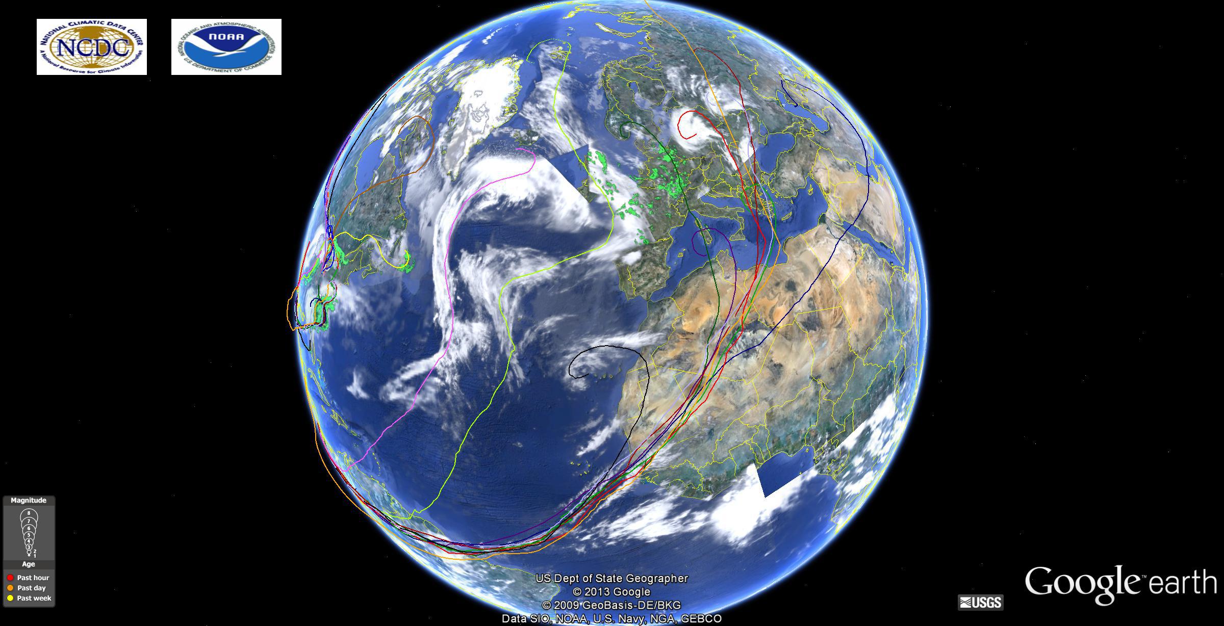
If you really step back and think about it, what could be causing the extreme condensing in the atmosphere? What is capable of pulling such a vacuum in the atmosphere along a straight line and condensing millions of tons of water and snow? If it were just the atmosphere, that heat/enthalpy removed from the water vapor would have to go somewhere and would quench some of that condensing. Prior to that low pressure system arriving in Atlanta yesterday the sky was full of cirrus clouds, which I believe are just particle contrails, just like you see in a cloud chamber. Cirrus clouds have been seen on most of the other planets in the solar system. These particles can condense ANY gas. My research and theory says this is a very bad time to be flying in the Eastern United States, especially in a small plane, since there are some very energetic particles crossing the US to those sinkholes, creating lots of turbulence and electromagnetic disturbances.


 Godspeed


