
Silent Night
 I stayed up late last night, I have finally finished my Google Earth plotting/statistics program to crunch the data I have been manually plotting for the past year from news articles and some of the State databases. I had to learn Python, a programming language, which was not too hard since I already know some C++ and Visual Basic. It must be a female language because it forces me to do a lot of things I don’t want to do, like having my columns lined up just right, it is case sensitive and uses “tuples”. I thought a tuple was something wives sold at one of those house parties? And then there was the Google Earth Geocoder that you send an address into the Google ether and it returns longitude and latitude. It must also be female because it complains a lot back to me and it also cuts me off from having too much fun, after 2000 submissions…
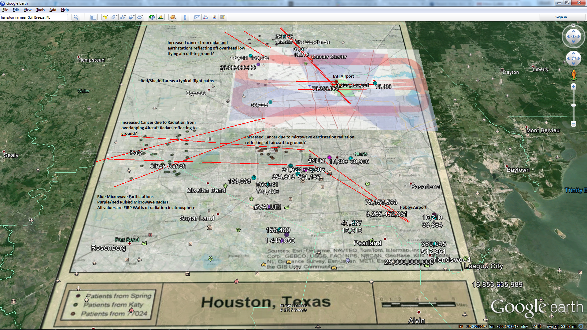
Anyway, I also had to learn about p-values, which are used a lot in biology/science to help determine if something is significant and/or related. I am not going to go into the significance of that but you can read it here. I have done a lot of hyphothesizing on this blogsearch site for the past year, attempting to turn my hypothesis into a theory and then prove the theory myself, because, quite honestly it is so outlandish and bass-ackwards to the way we normally think about our surroundings that I felt the need, had some spare time and it keeps me out of trouble at night.
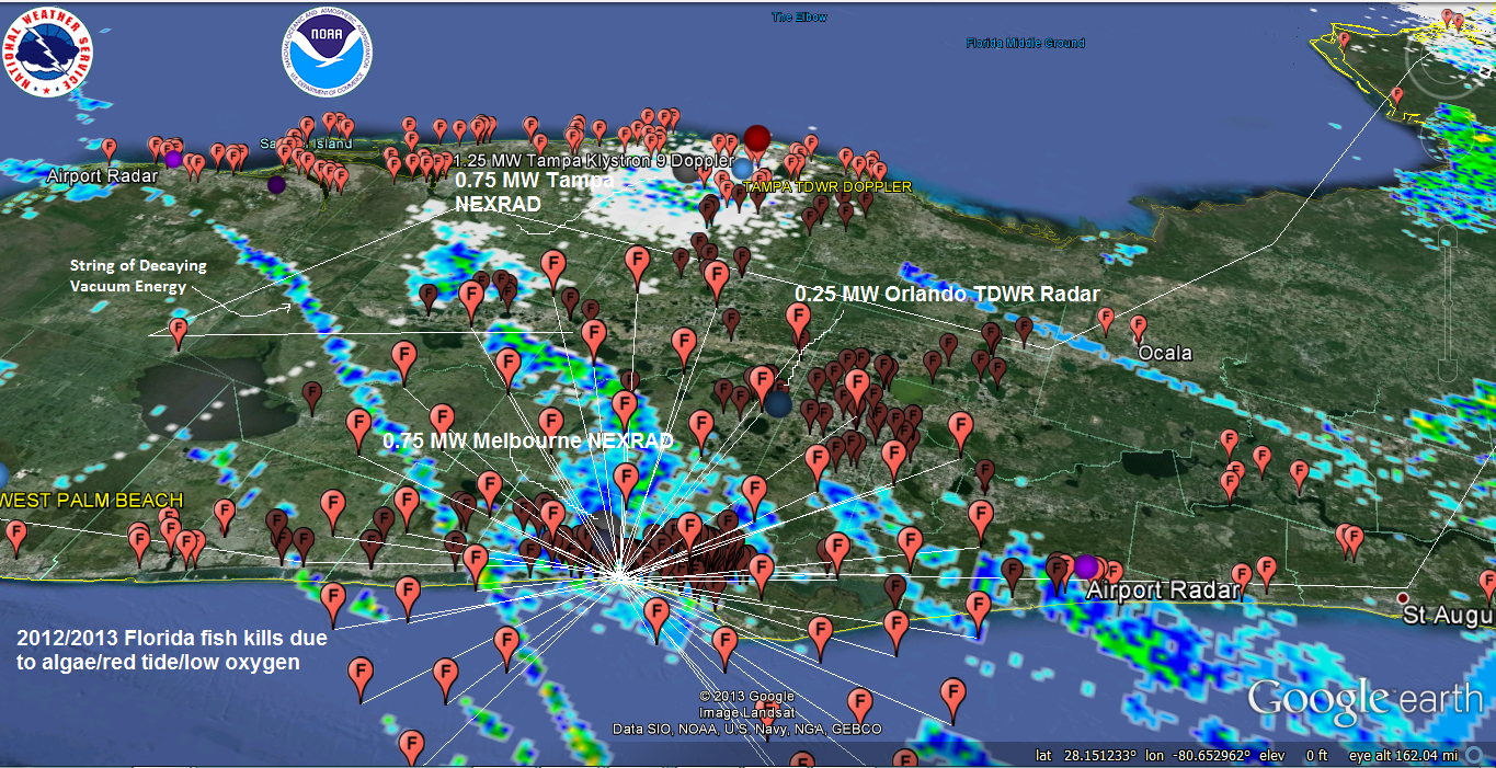
So here are the VERY preliminary results for Florida:
Data Set: 2012/2013 Florida fish kills associated with Red Tide/Algae/Low Oxygen
Null Hypothesis: “No association between Doppler radar locations (14) in Florida and Fish Kills Associated with algae blooms/red tide/low oxygen from 2012/2013”
Data: 2287 Instances of fish kills associated with red tide/algae/low oxygen within 50 miles of a Doppler radar tower vs. 893 fish kills within 50 miles of 14 random locations within Florida (Random coastal polyline since most radars in Florida are along the coast). Some fish kills are within 50 miles of multiple radar towers or a random site so I counted each as an instance.
Metric = (2287/14)-(893/14) = 99.57
Analysis Results: 10,000 iterations by shuffling 14 sets of random tower location with 14 actual tower locations (longitude & latitude) yielded 16 instances of a higher metric.
p-Value: 0.0016
I understand that p-values less than 0.01 can be significant.
I don’t sit here today and tell you that I am correct about the relationship, BUT EVERYONE SHOULD CHECK FOR THEMSELVES, THE SOONER THE BETTER since the hair is standing up on the back of my neck.
THE KILLERS
FAA Long Range RADAR Site
Melbourne FAA Long Range Radar Site
Latitude: 28.076389
Longitude: -80.506111
Exclusion Zone: 10 nautical miles
250,000 Watts Power
NEXRAD KMLB – MELBOURNE, FL
750,000 Watt Pulsed Microwave Radar
J-05A
Callsign: J-05A
Melbourne, Florida, USA
ARSR-4
USAF: Eastern Air Defense Sector RADAR
FAA: ASO Southern
Power:60,000 watts
Total Pulsed Microwave Power over Melbourne area 24/7: 1,060,00 Watts
Holy Night.


